Free interaction in 3D/360 space
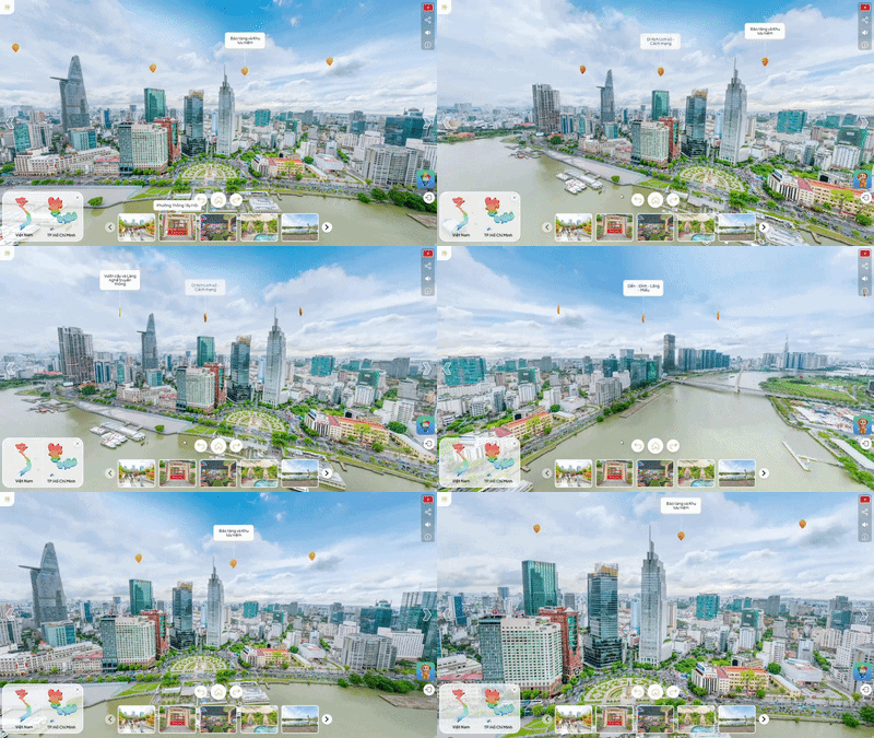
Users can actively rotate, zoom in, zoom out, and smoothly move within the virtual space with zero latency. It provides a realistic sense of "being present," allowing customers to explore freely.
Currently, urban management and operation through traditional methods are facing many significant challenges:
Fragmented and outdated infrastructure data over timewill make maintenance, repair, and incident response become passive, wasting resources and posing risks to urban operationswithout a unified "Digital Twin."
Paper or 2D planning models cannot fully capture the multidimensional impacts of new infrastructure on traffic, the environment, and people's lives. The lack of a visual perspective leads to errors in forecasting, creating significant risks for long-term investment and development decisions.
Citizens and investors find it difficult to access planning information. Public services lacking visual appeal not only reduce the effectiveness of community feedback but also hinder the smart, modern living experience that a new type of city aims for.
Bridging the gap between citizens and government through direct interaction with virtual spaces and real-time data. The solution allows for accurate simulation of traffic and environmental scenarios — a core foundation for optimizing management and strengthening community connections.
The 3D/360 digital replica is not just an image; it is the most effective solution for visual infrastructure management and urban promotion. It serves as a strategic bridge, presenting urban planning projects and tourist destinations to investors and international friends in a realistic and absolutely convincing manner.
With just an Internet connection, the entire city is "at the user's fingertips." All planning information, utility infrastructure, and public services are provided instantly, ensuring absolute transparency and unlimited access.
Establishing a permanent "digital profile" for heritage architecture and core infrastructure through 3D digitization technology. This is the only accurate data platform for maintenance and expansion planning that does not encroach upon or distort existing cultural and historical values.
COMMON VIRTUAL TOUR
Simple images
Easy to copy
Lacking a distinct technology platform, easily replaceable, and without effective digital asset protection mechanisms.
Marketing Priority
Weak expansion roadmap
Closed structure, unable to integrate additional smart features or connect with enterprise management systems.
STARGLOBAL 3D
Protected by intellectual property rights
Reinforced by patents from the USPTO and the Intellectual Property Office of Vietnam (NOIP) revolving around the core system.
Integrated architecture
Combining 3D/360 environments, AI support, IoT & ERP integration, and in-depth data layers, transforming virtual spaces into smart operation centers.
Building on practical needs
Supporting production processes such as training, asset visualization, and remote collaboration. Unlimited feature expansion according to business growth.
Users can actively rotate, zoom in, zoom out, and smoothly move within the virtual space with zero latency. It provides a realistic sense of "being present," allowing customers to explore freely.
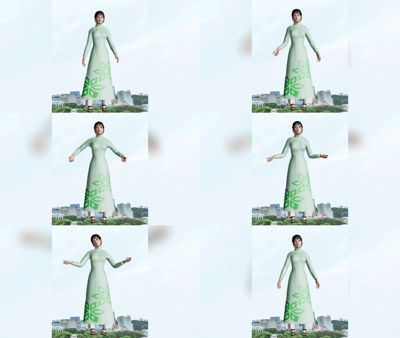
The AI virtual assistant communicates in natural speech, capable of expressing emotions and understanding complex contexts. It personalizes the customer journey 24/7, acting as a professional "virtual guide" serving each individual.
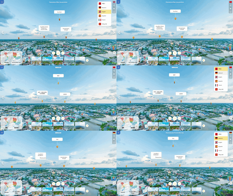
Completely breaking down language barriers, it brings your solution to reach and conquer global customers through a professional and friendly "communication" experience.
Guiding emotions through an automated storytelling journey, with AI following user requests in real time.
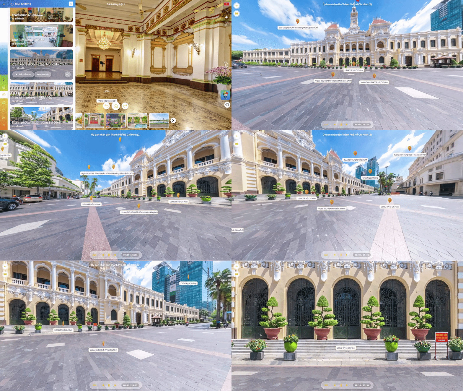
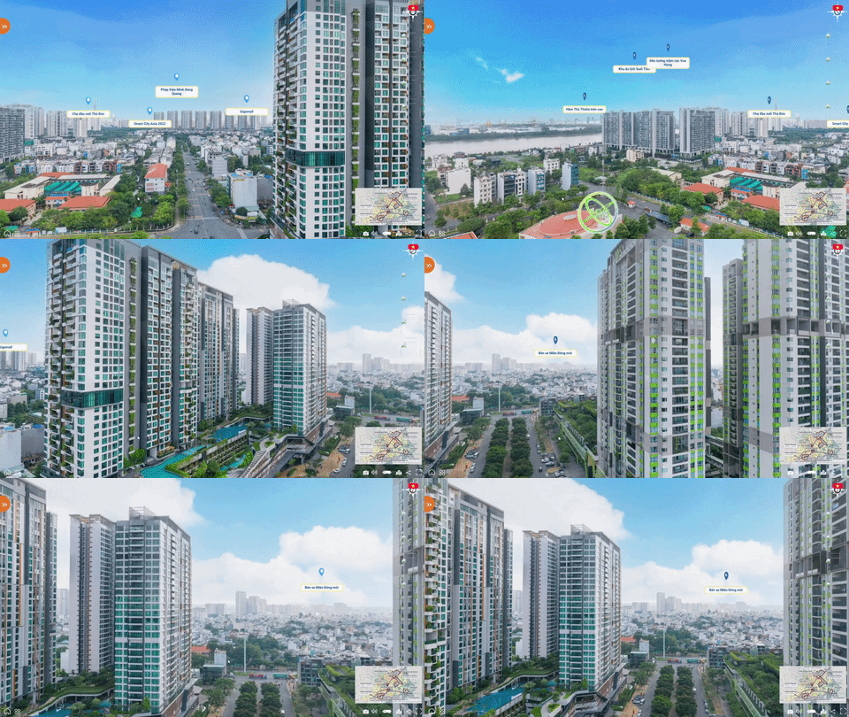
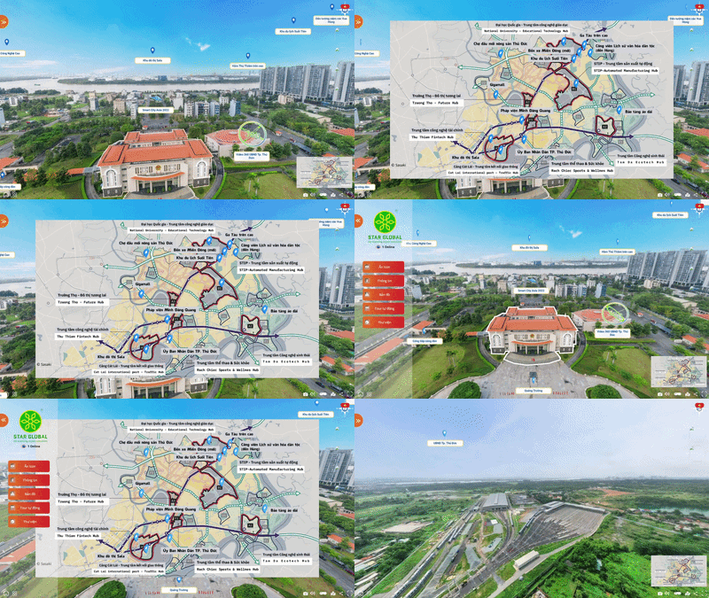
Provides a visual positioning diagram, helping users accurately identify and navigate within the overall 3D/360 space.
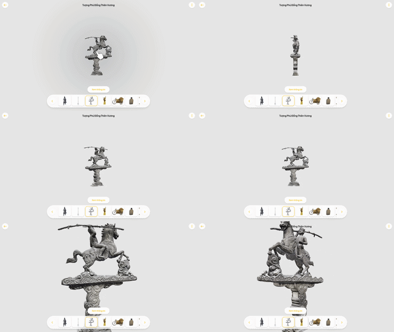
The 3D model is digitized using modern laser scanning technology, accurately recreating the actual state and preserving the original condition of the model.
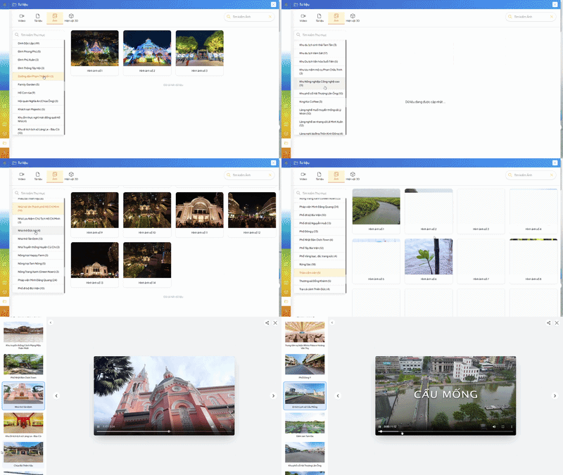
Directly synchronize image data, video, 360 videos, flipbooks, presentations, text... to 360 touchpoints, supporting the retrieval of detailed and visual information right at the digital site.
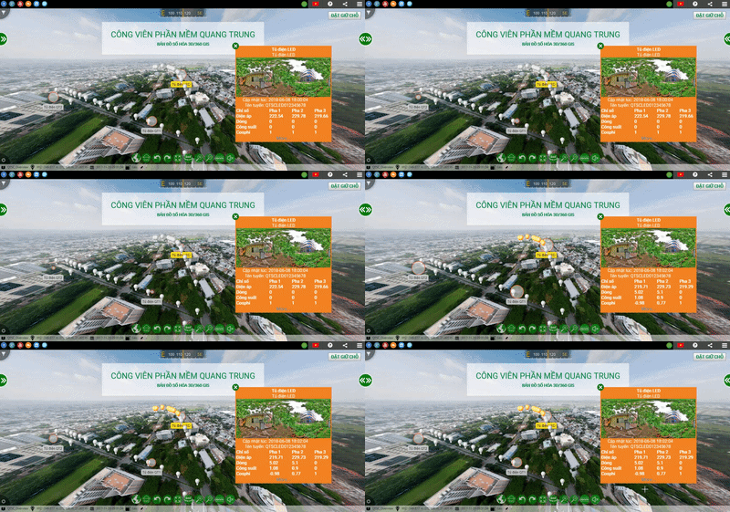
Combining IoT technology and 3D/360 GIS digital mapping helps monitor the lighting system in real-time. Operational data is visually displayed on the map, supporting equipment management, fault detection, and optimizing the efficiency of smart urban operations.
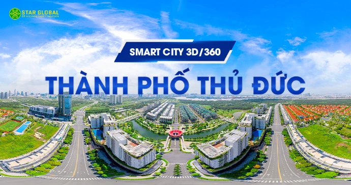
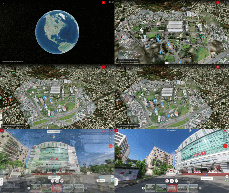
Digitizing the entire urban space onto a 3D visual map allows managers and planning units to observe the overall land fund, infrastructure architecture, and traffic density with millimeter accuracy. It supports multidimensional space simulation, helping to optimize resource allocation, manage public projects, and develop sustainable urban development roadmaps.
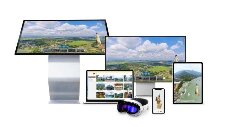
The system operates smoothly on all devices: from computers, tablets, smartphones to specialized VR glasses. All data is synchronized in real-time, ensuring an uninterrupted access and navigation experience.
CONTACT US








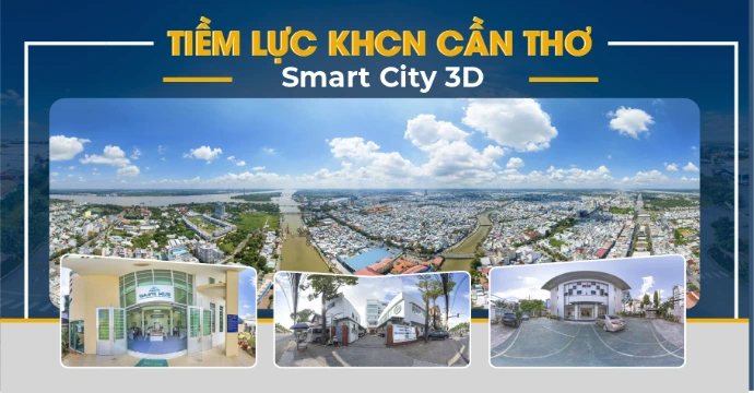
"Digitalization has provided a more modern and professional way to introduce Can Tho City. Through the 360° viewing space, interactive points, and visual information system, users can easily explore prominent locations, access information quickly, and contribute to spreading the image of a dynamic, modern city with great development potential."
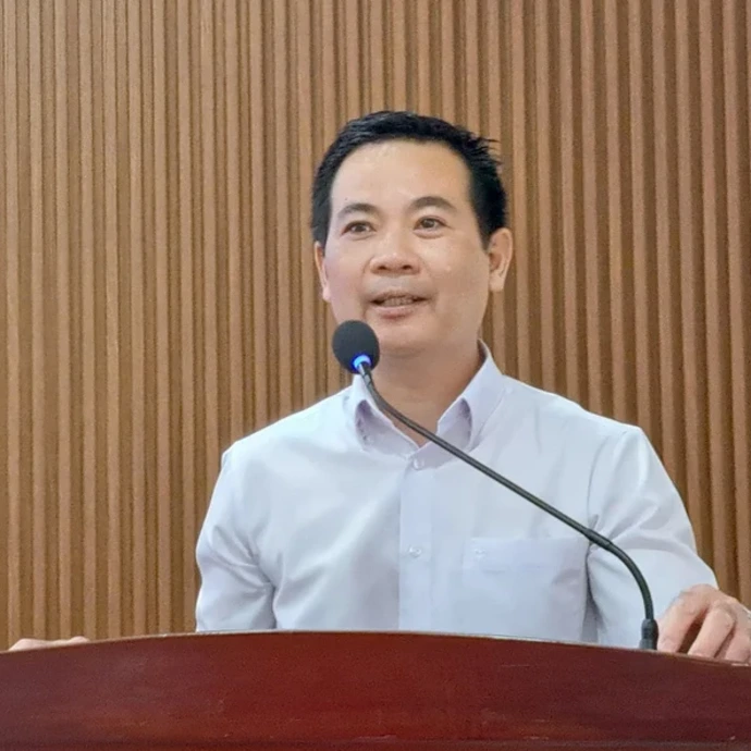
“The application of 3D/360 interactive technology has provided a more visual and effective way to introduce the Cold Technology Laboratory. Learners can easily take remote tours, explore the machinery, equipment, and practical processes directly on the digital platform, thereby proactively preparing their knowledge and enhancing their learning experience before participating in hands-on practice.”
"The digital tour solution has helped Masterise Homes bridge the gap between the project and customers. With a 360° viewing space, customers can easily experience the project remotely, explore the utility system, and access detailed information anytime, anywhere, contributing to an enhanced consulting experience and supporting the decision-making process."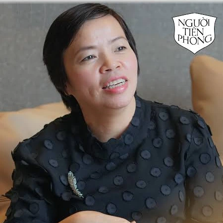
TOP 3 CITY PROJECTSSMART INTERACTION 3D/360
What value does 3D/360 digitization bring to my business?
What form of digitization is truly suitable for my current situation?
How to start digitization with the most optimal cost for the business?
Star Global 3D 's expert team is always ready to listen and answer all your questions. Leave your information now to receive a response within 24 working hours.