Optimizing the construction process using 3D reverse design technology
Calculate the actual fill volume
Through the digitization of surfaces using high-resolution coordinate measuring devices and UAV technology, the system allows for the accurate scanning and analysis of the actual terrain of the project.
Reconstruct the model and the structure
Using advanced 3D laser scanning technology to collect comprehensive point cloud data with an extremely small error of only about ±1mm.
Assembly simulation testing
Using specialized software such as Geomagic Design X or As-built to create a visual 3D simulation environment before proceeding with actual construction.
The process of
Reverse Engineering
01
Project Surveying & Data Collection
StarGlobal 3D uses the Focus S350 3D scanner - a specialized scanner for collecting detailed data on the current state of an object, and then analyzes discrepancies against the original design based on the data collected, which is extremely accurate compared to reality.
02
Data processing & modeling
The engineering team will model all the digitized data while being able to simulate the assembly of experimental components and structures when discrepancies are detected during operation. The software used includes: As-built for Revit, As-built for AutoCAD, BuildIT, Geomagic Design X...
03
Quality Assurance & Project Handover
StarGlobal 3D will reconfirm the product quality with the Customer, provide a solution for the next phase, and deliver the obtained results.
BENEFITS OF REVERSE
ENGINEERING
Accelerate Data Collection
The survey time and data collection are much faster and more complete than any traditional method.
Mitigate Risk
Effectively meets the urgent needs of hazardous areas where humans cannot stay for long, with time constraints that require high accuracy.
Millimeter Precision
Building a 3D model for the project with high accuracy compared to reality down to the millimeter
Maximize Data Utility
Data is easily shared, just scan once, can be used many times for different purposes, and saves a significant amount of costs.
Digital Lifecycle Tracking
Digitize and track changes of objects and terrain over time due to the influence of external factors
Structural Integrity Assessment
Assessment, conclusion on the changes and damage to machinery, factories, and structures over time
FEATURED PROJECTS
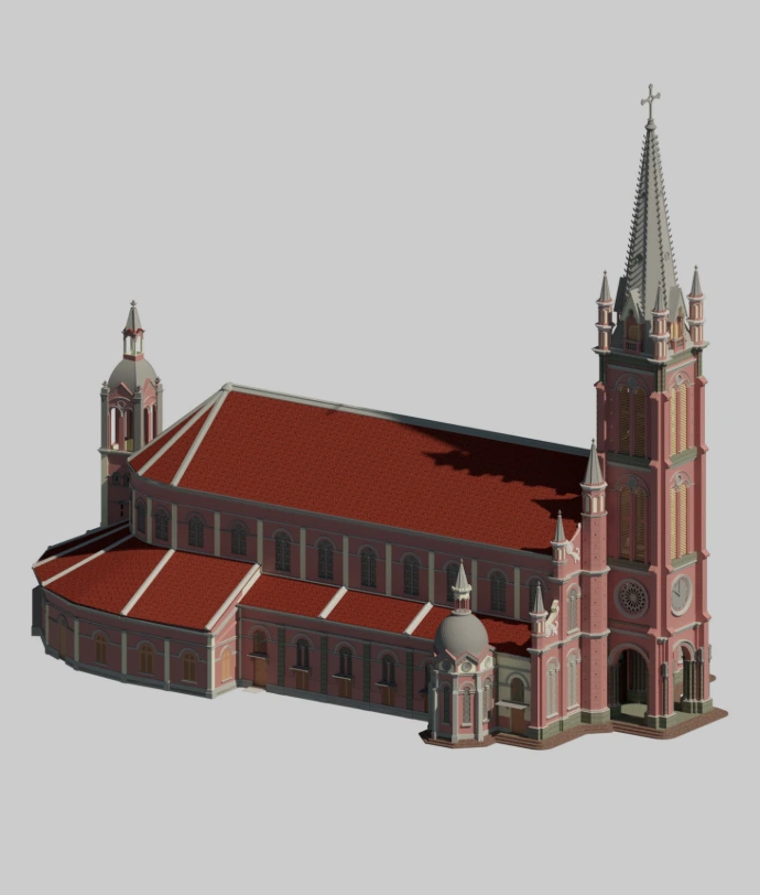
Digitalization of Tan Dinh Church
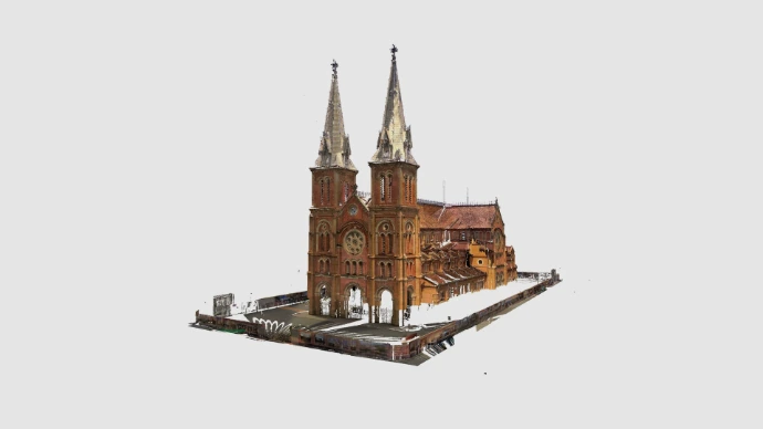
Digitalization of Notre-Dame Cathedral
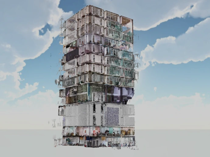
Create an as-built drawing of the VTV building
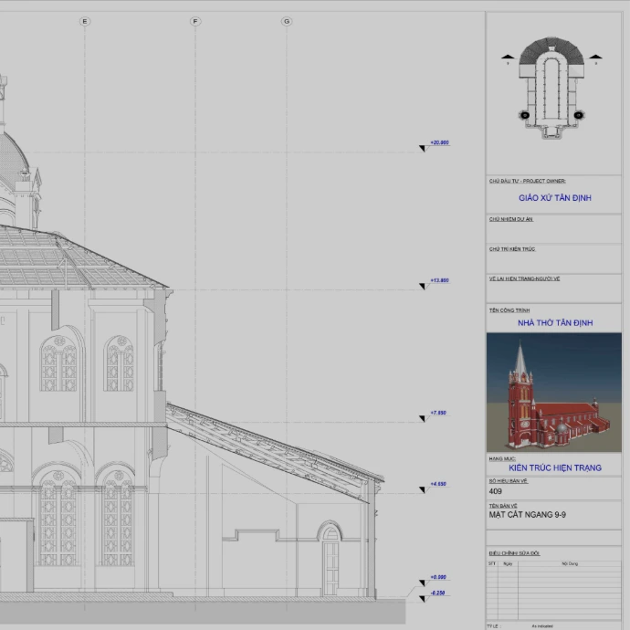
Floor plan drawing of Tan Dinh Church
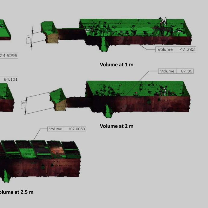
Calculate the volume of Cu Chi tunnels
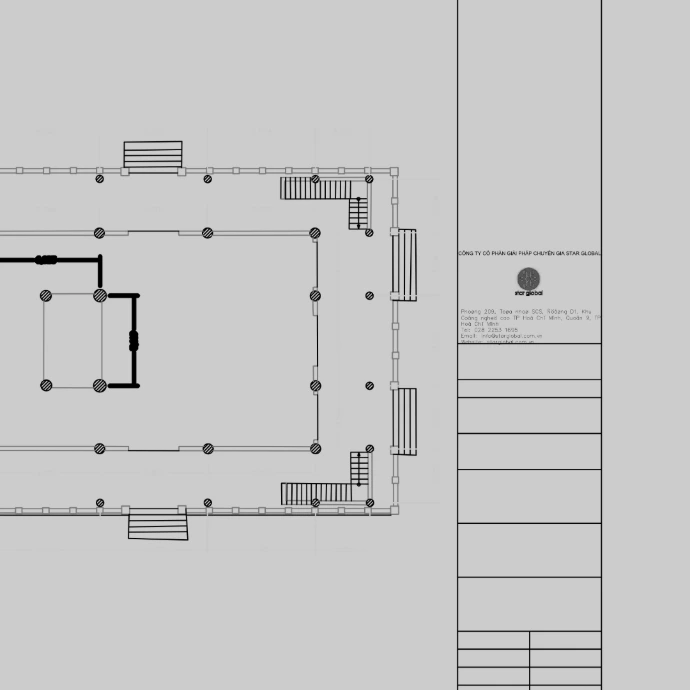
Floor plan drawing of Vinh An Pagoda - Ben Tre
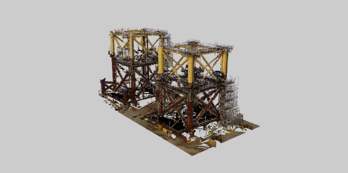
Simulate the assembly of the DAMAN base - PTSC
Related news
Update knowledge, trends, and solutions in the field of 3D data processing.
01
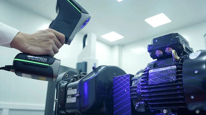
What is 3D Laser Scanning technology?
02
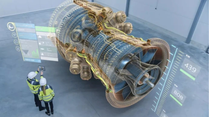
What is Reverse Engineering?
03
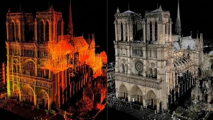
Point-cloud and how it works?
04
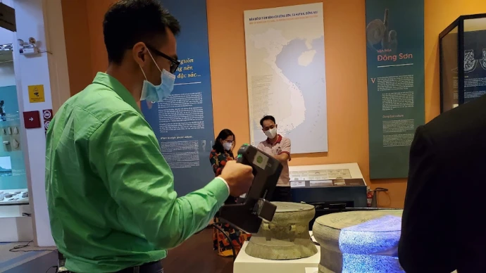
Optimized 3D scanning technology for storage - preservation - architectural reconstruction
05
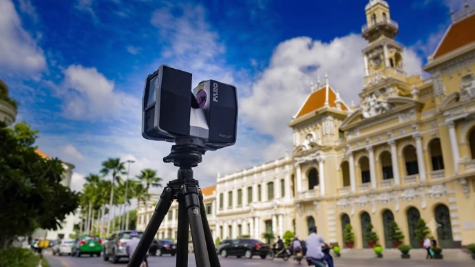
History of Development - 3D Scanning Technology
06
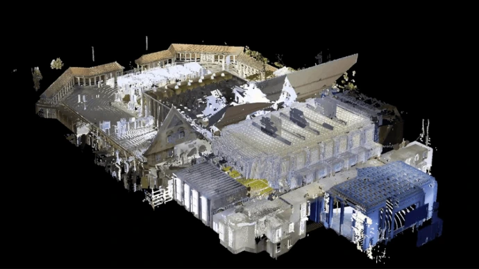
3D scanning technology - A solution for protecting architectural structures over time
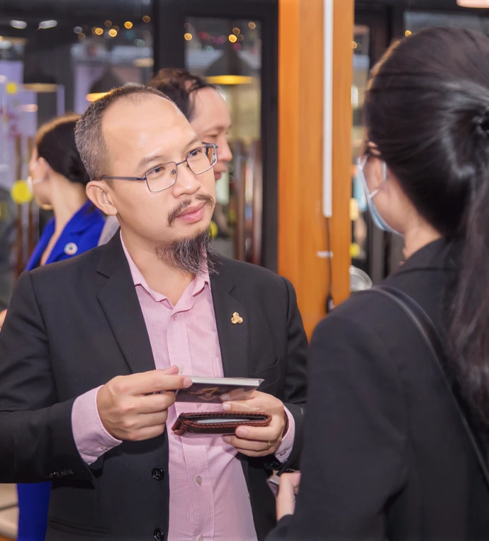
Do you need advice on digital solutions?
What value does 3D/360 digitization bring to my business?
What form of digitization is truly suitable for my current situation?
How to start digitization with the most optimal cost for the business?
Star Global 3D's expert team is always ready to listen and answer all your questions. Leave your information now to receive a response within 24 working hours.